PhoTopoL
PhoTopoL is a powerful application to process photogrammetric and GIS data. It includes the modules for aerial triangulation, stereo editing, orthophoto rectification and mosaicking with color balancing. You can find more information on www.photopol.cz.
Data input and management
The data are organized in projects. The project includes camera definition, correction of atmospheric refraction, definition of images in project and definition of strips and models in strip. The image orientation can be made in PhoTopoL or can be imported from other softwares (interior and external from ImageStation, Erdas, Match AT, external from DiAP, PatB, ASCII file, Zeiss interchange format PEX).
Digital aerial triangulation
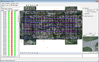
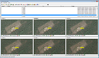
The interior orientation of analogue images can be made fully automatically with correlation. The collection of tie points can be made automatically or interactively with correlation. In case of automatic collection, it works also without the knowledge of external orientations of cameras. It is based on unique method. The adjustment can be made in Bingo or AeroSys.
Stereo viewing
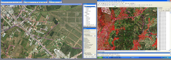
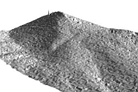
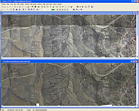
PhoTopoL can work as single or dual monitor stereo collection system. Stereo image display is made with superimposed vector data. Vector data display can be switched ON/OFF as well as display of single vector files and vector layers. The editing is with subpixel accuracy. The coordinates of stereo cursor can be displayed on this stereo screen as well as the feature name and the feature code of snapped object when snapping is on. The online generated contours can be displayed in stereo as well. The stereo model roaming and zooming is very fast because stereo pairs are loaded into video memory of the graphic card. The position of stereo cursor is displayed also on monoscreen where orthophotos and vector data can be displayed.
Software to edit vector data
Feature collection is made in TopoL xT. TopoL xT is a general Geographic Information System which can be adjusted for applications in many areas. It allows the creation, maintenance, analyses and presentation of geographical data.
Extensive care was focused on topology and support for topographic structures of vector data. Digitising capabilities of TopoL are easy to use and the system is able to solve topologic relations in real-time while data are digitised. TopoL can import and export data in many industry-standard formats (dxf, dgn, ArcView ShapeFiles, MapInfo, GeoMedia). TopoL is running on a standard PC computers in MS Windows environment. Czech, English, German, Italian, Spanish and Russian language mutations of the system are available.
